You haven’t got any favourites yet
This is where you can collect inspiration, articles, events and places that interest you.
Click the icon on pages and they’ll appear here.
Your favourites
Leynar - Tórshavn
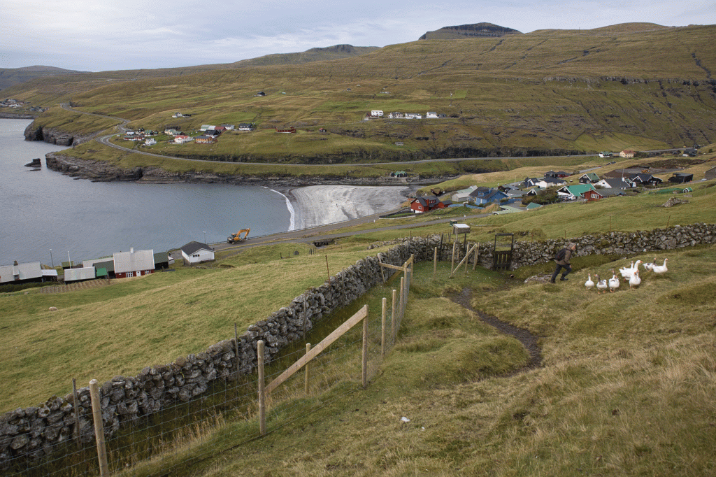
A long, exciting, diverse trip with lovely views in which a significant portion of the walk takes place along Oyggjarvegur.
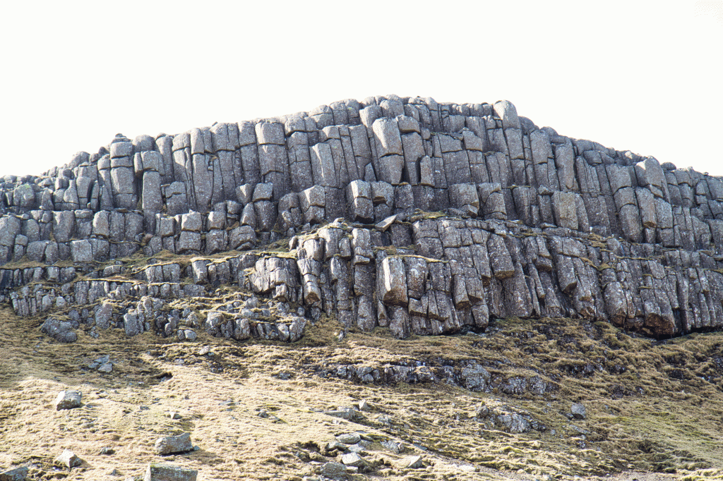
If you decide to start the route at Leynar, walking upwards is relatively easy. Once you arrive under Múlan, there is a beautiful view southward on the west side of Streymoy, next to Skælingsfjall, Skælingsbygd, and the grooves further south as well as the view of Koltur from the back. Inside the valley, on the west side, you can see the unique Stórareyn, part of Streymoyarsylli. Walk in through the valley, across the quaint Marknagil and then up under Regnsenda, close beneath the unique columnar basalt.
Once west of Regnsenda, you walk south under Stórareyni, up through the rough terrain by Regnin and then up under Skælingskarð. Here the route runs up to 415-meters high to the great quarry of Landsverk. Be careful! Do not walk too close to the quarry because the equipment on edge is loose. Walk south along the road above the quarry, on the southeast end, and walk back to the path. By the path stands a flat rock called Brynjumannaborð. The tale says that this rock received its name after the northern men held a victory celebration when the southern men fled after the war in Mannafelsdal. On top of this rock lies a stone; the northern men took with them the heavy stone to show their strength, and those who could not heave it up from the base were not allowed to go to war. This stone must have weighed about 225kg. It was customary that calvary people from the south, on the way to competitive riding by Leynavatn, stop and rest by this rock.
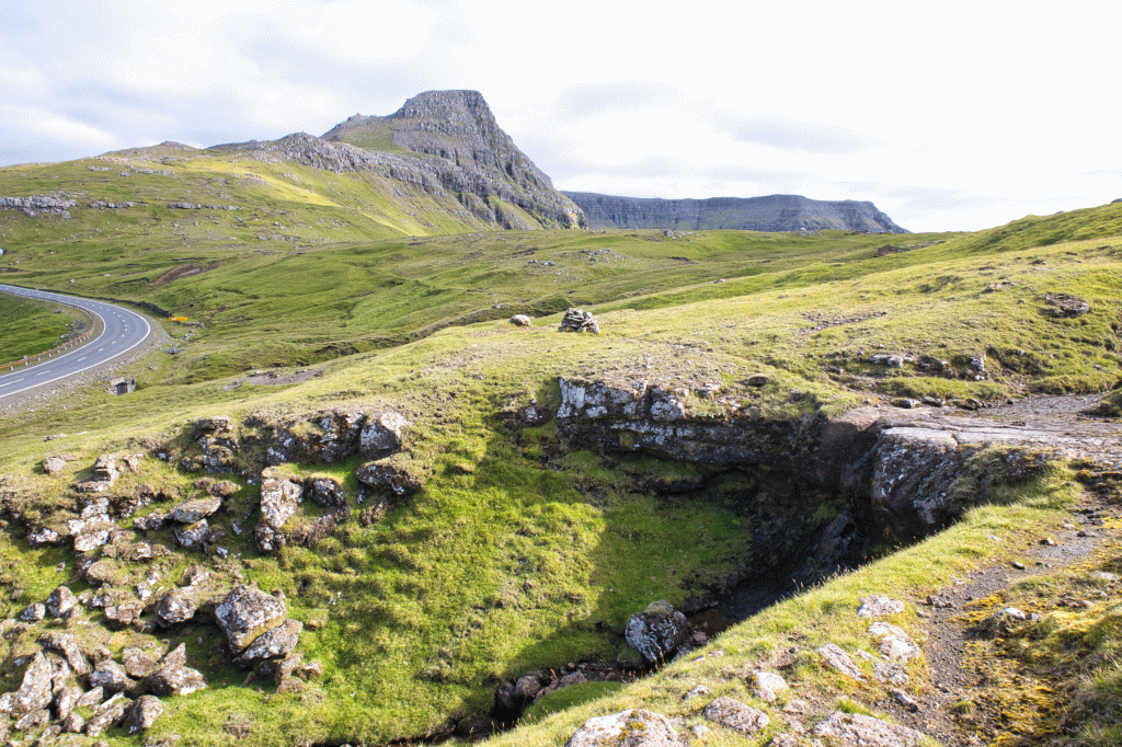
Then you will walk south on the side of Hórisgøta. Continue walking southward on the road up towards Sornfelli and down to the large cairn by Mjóstíggj. Here it is beautiful to walk by the view over Núgvuna and Mjørkadal and out across Kaldbaksfjørð. By Mjóstíggj, there has been a landslide which eradicated the path, so it is a bit challenging to come across. During good weather, it is not difficult for reasonably fit people. You will walk down to the station in Mjørkadal by Oyggjarvegur.
From Mjørkadal, you will walk along Oyggjarvegur. Just south of Neytaskarð, you will take the pass upward across Norðradalsvegur and then continue southward up towards the sharp edge of the plain at 400-meters high east under Stiðjafjall. Right above are gorgeous Dysjars. These hills and gravel bunks come from a particular natural event caused by ice pressure from 10.000 years ago. Similar Dysjar are also on Sandoy and Suðuroy.
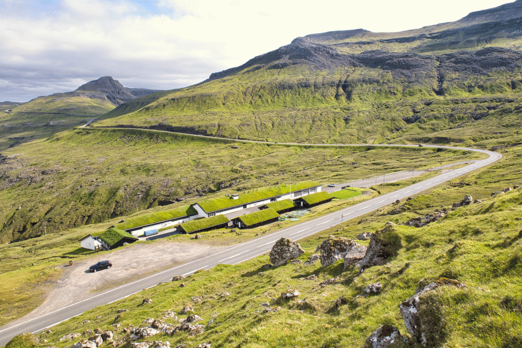
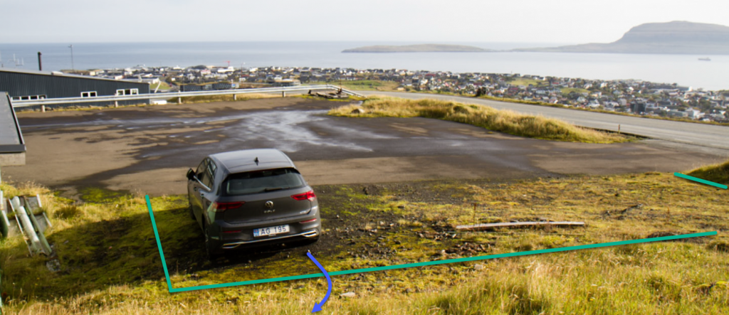
From here, it is about 8 km of decent path to Tórshavn. The view is excellent and diverse. The walk ends at the parking place above the quarry by Oyggjarvegur (where the fire station is).
Leynar - Tórshavn
Two bus routes pass Leynar:
Route 100/300 Tórshavn – Vestmanna (700 m. walk to where the route starts).
Route 300 Tórshavn - Flogvøllurin – Sørvágur (1100 m. walk to where the route starts).
You will need to ask the bus driver to stop by Leynar.
Tórshavn - Leynar
Leynar - Tórshavn
Tórshavn - Leynar
Facts
Duration
distance
Peak
Elevation


